
Coverage Germany
Audio Guide Saarlouis
app, one-time €4.99
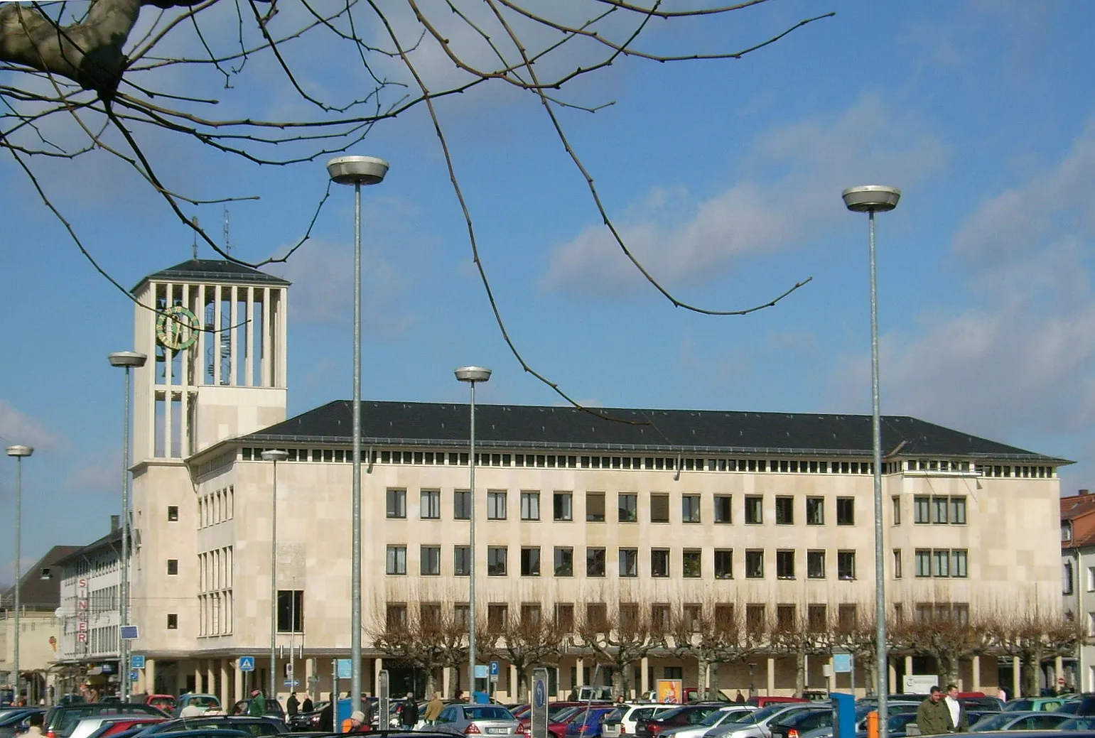
Saarlouis was founded in 1680 by Louis XIV as a fortress town, designed from scratch by the military engineer Vauban near the French border. Its star-shaped layout still shapes the streets today, and the central Großer Markt, once a parade ground for Louis XIV's garrison, now fills with café tables and festivals. Few German cities carry such a distinctly French blueprint.
29+ researched places in the app
Yes. Parroo is a self-guided audio guide for Saarlouis: 29 researched places, from Great Market to Fortifications and Casemates, each with a short summary, a full article, and a roughly three-minute audio story in German, English, and French. Buy once, no subscription, no booking. Start whenever you like.
Audio sample: Great Market
Saarlouis
Places researched in this city
A selection of the 29 places we've researched in this city. The full set is in the Parroo app.
- Vauban fortifications
- Baroque square
- River landscape
- Napoleonic history
- Military architecture
-
01
Great Market
Louis XIV himself visited this 100-metre-square parade ground, laid out by Vauban between 1680 and 1690. After the fortress was dismantled in 1889 it shifted from drill ground to the civic heart of Saarlouis, ringed by plane trees and 19th-century fountains.
-
02
Fortifications
Vauban designed Saarlouis as an inundation fortress: sluice gates could deliberately flood the Saar River and its surroundings to stop an advancing army. The hexagonal layout with six bastions is one of his most complete surviving examples in Germany.
-
03
Casemates
Built between 1680 and 1686, these sandstone vaults were covered with up to four metres of earth to make them bombproof. Today the same chambers that once sheltered Louis XIV's garrison house restaurants and bars.
-
04
Commandant's Office
Constructed between 1680 and 1683, this is one of the few original Vauban buildings still standing on the Großer Markt. It served as the residence of Saarlouis's first governor, Thomas de Choisy, and its plain functional Baroque style was intentional: no ornament, only purpose.
-
05
Marshal Michel Ney Birthplace
Napoleon's famously fearless Marshal Ney, born here on 10 January 1769, was the son of a barrel-maker. His 1946 statue on Vauban Island, a monolithic concrete sculpture by Jean Lambert-Rucki, was restored as recently as 2020.
-
06
Little Market
Before it became a tram hub in the early 20th century, this square was simply called the Schweinemarkt, the pig market. The name changed only after the French Gate was demolished in 1889 and the square was expanded to match its grander neighbour.
-
07
Saar Oxbow
This 10.4-hectare lake is a remnant of the original Saar River course before it was straightened, meaning the very waterway Vauban used for flood defence now curves quietly through a 35-hectare green belt. A 5-kilometre shoreline path runs the full length.
-
08
22 more places to discover
In the Parroo app
Good to know
29 researched places, from the Great Market and the Casemates to lesser-known spots like the Saar Oxbow. Each one has a short summary, a full article, and a ~3-minute audio story.
Yes. Every place has a ~3-minute audio story, written from the perspective of a guide standing next to you and produced with premium narration, not the article read aloud.
German, English, and French. Pick whichever you'd rather read or listen in.
No booking, no signup. It's a self-guided walk you start whenever you like. You do need a connection for now to stream the audio and load articles; offline support is something we're still building.
A one-time €4.99 for the whole city, no subscription and no recurring cost. You buy Saarlouis once and keep access to all 29 places with text and audio.
Nearby cities
Open this city in Parroo
Get the full articles, audio stories, and map for this city in the Parroo app. One payment per geography. Yours to keep.
Updated: 2026-09-25